

Landscape can be defined as “an area, as perceived by people, whose character is the result of the action and interaction of natural and/or human factors” [1].This definition clearly emphasises the sensory relationship between the observer and the landscape. The major question here is: how do we know and understand the landscape through perception?
Although ‘perceived by people’ refers to a holistic experience with all senses, very often it is reduced to the visual aspects. This has to do with the fact that 80% of our impression of our surroundings comes from sight [2]. Also the ‘range’ of our senses plays an important role. Granö (1929) already made the distinction between the ‘Nahsicht’ and ‘Fernsicht’. The Nahsicht or proximity is the environment we can experience with all our senses, the Fernsicht he called also landscape and is the part of our environment we mainly experience by vision [3]. Hence the identifying character of landscapes in the rural and urban realm is, to a large extent, built upon visual perception. Since visual perception is a key factor in behaviour and preference, it is crucial for landscape planning, design, and management, as well as for monitoring and protection of landscapes. But how can we comprehend the ‘face of the landscape’ and its perception? And how can we make this applicable to landscape planning, design and management?

The field of visual landscape research is expanding every day. Influenced by national and international initiatives it is likely to continue developing in three ways. In the first place by scientific development of theory, methods and techniques. Secondly by implementation in education, and thirdly by knowledge transfer and applications in academia and society (valorisation). In order to facilitate this development a dialogue is needed between the scientific community and society through high quality publications and platforms for knowledge dissemination and discussion. We like to contribute to this dialogue via our platform Exploring the Visual Landscape (EVL), an initiative of Delft University of Technology, Landscape Architecture andWageningenUniversity, Centre for Geo-Information.
Colloquium: Exploring the Visual Landscape, March 22nd 2012, TU Delft. More information: visuallandscape-bk@tudelft.nl
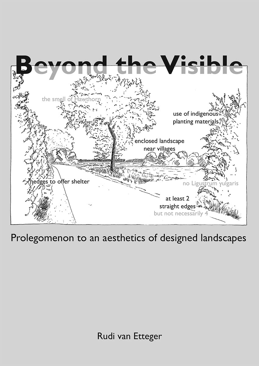
Book: Exploring the Visual Landscape. Advances in Physiognomic Landscape Research in the Netherlands. S. Nijhuis, R. Van Lammeren and F.D. Van Der Hoeven (eds.). Research in Urbanism Series, Volume 2. September 2011, Amsterdam, IOS press
Download from Repository TU Delft: [http://repository.tudelft.nl/view/ir/uuid%3Afe6698ae-045c-436b-945b-c61c4b0437e4/]
Online purchase: [http://www.iospress.nl/html/9781607508328.php]
Notes:
[1] Council of Europe(2000) European Landscape Convention.Florence. European Treaty Series 176. p3
[2] Seiderman, A., Marcus, S. (1989/1991) 20/20 is not enough. The new world of vision.New York. Alfred a. Knopf. p6
[3] Granö, J.G. (1929) Reine Geographie. Eine methodologische Studie beleuchtet mit Beispielen aus Finnland und Estland. Acta Geographica 2 (2); 202. Recently republished in: O Granö and A. Paasi (eds.) (1997) Pure Geography.Baltimore andLondon, TheJohnHopkinsUniversity Press.
[4] Source: http://www.newopticalillusions.com/3d-optical-illusion/face-optical-illusion-2/ [accessed: February 4th, 2012]
[5] See for an overview: Nijhuis, S., Van Lammeren, R., Antrop, M . (2011) Exploring Visual Landscapes. Introduction. In: S. Nijhuis, R. van Lammeren, F.D. van der Hoeven (eds.) Exploring the Visual Landscape. Advances in Physiognomic Landscape Research.Amsterdam, IOS Press. pp15-40
Reading about the ‘Fernsicht’ made me think of the work of visual artist Irene Kopelman. Work that is part of her doctoral work toward a PhD in Fine Arts (the first such degree to be conferred in the Netherlands). On 6 January 2010 she embarked on a mission to the Antarctic. Having departed from Ushuaia, Argentina, she spent twenty six days travelling and came home with an extensive series of landscape drawings titled ’50 Metres Distance or More’ (2010). It refers to a practical logistical constraint, namely that Kopelman could only engage with the landscape from a distance of at least 50 metres. Kopelman: ‘That is because my vantage point for the bulk of the journey was either from the vessel on which we were sailing (and even when you’re anchored you can only get so close to the shore), or from land, where you still cannot get much closer to the actual landscape because icebergs or glaciers keep you at bay with their constant moving about and fracturing.’ source: Irene Kopelman on the website of BAK Utrecht