Following up former contributions of the chair of Landscape Architecture/TUDelft to the Oerol Festival we are this year developing our fifth project in the framework of Sense of Place – IOPM.
The 2017 project has just been named; PIN(K) A PLACE – Disclosing Landscape.
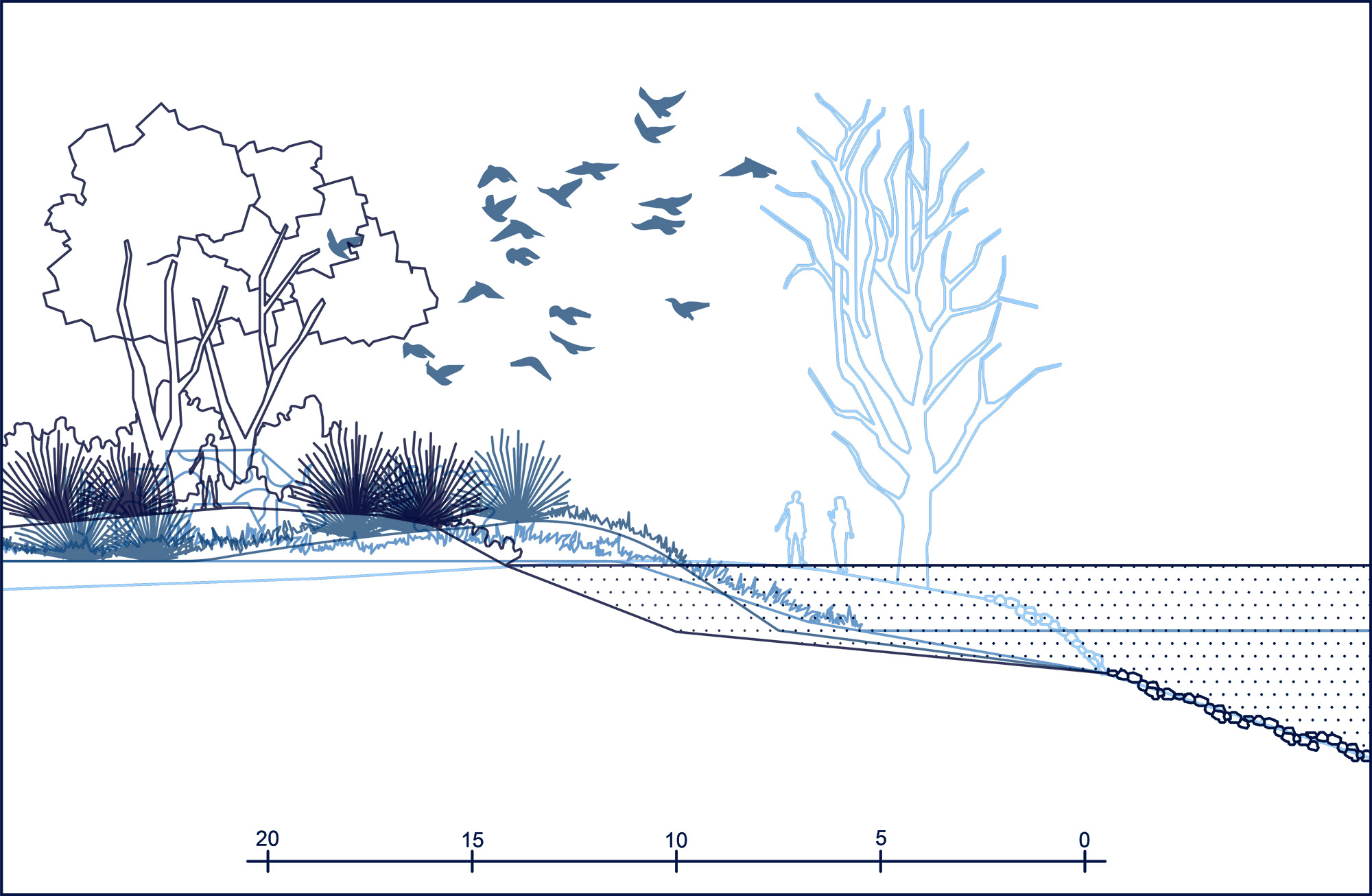
This year expedition project focus on Place and Perception and is located in a forest nearby Duinmeertje Hee.

Background and methods used during the design process.
Walking a straight line – immersive method
The first step of the recognition and mapping phase made on site was the introduction of an exercise when the students were asked to walk into the forest for the first time, not in groups but alone and remote from each other by about 30 meters, not using any of the existing paths but starting from the edges of the forest and walking into the forest in a straight line minding and making notes of the deviations – moments when, where and why they were inclined to stop or leave the referential straight line to research the particularities of the forest, coming back to the line after the recognition of a certain particularity continuing their journey along the line till the next moment of deviation happened.
By introducing this linear movement a qualitative recognition of the site was established; obstacles were encountered during the walk; the perception and ‘view’ of the students were drawn by events, objects, atmospheres along the way introducing serendipity into this mapping phase. The experiential dynamic of walking and the sensorial relationship with the site made the students much more aware of the particularities they encounter and the deviations they were inclined to make.
By noting this particularities and encounters a first map of capacities of the site were made. This exercise that was not meant, in principle, to collect hints for the project but be a recognition of what was there, has generated an unexpected affluence of material, perceptions, experiences and is still informing the project in its end phase. Not only the experiences and deviations on site are been inspiring but also the very exercise of walking as a research method, what confirms the importance of been conscious about the ‘steps’ taken during all phases of the design process.
The second step directly related to the walking a straight line exercise was to compare and discuss the experiences in the group trying to find out the way to match them. This phase revealed on one hand the tendency to describe tactile aspects of the site and on the other hand talk about feelings, remembrances, stories related to certain spots along the way, ending in a map overlapping different ephemeral encounters.
The most important conclusion of this brainstorm section, along with that of mapping the individual opinions or making lists of emotions, is the realization that each of us has a personal perception of the landscape. In this sense you could make as many maps and lists as visitors are of the same forest.
What remote back to understandings about place and perception the students had studied in the introductory phase like the Richard Muir’s book Approaches to Landscape where he also refers to another important researcher on subjects related to Place and Perception, Yi Fu Tuan; “In experiencing places, we simultaneously encounter two closely related but different landscapes. The real landscape, the objective one made by soil, vegetation and water. The other is the perceived landscape, consisting of senses and remembrances, a selective impression of what the real landscape is like… When the one departs, the landscape enduring in the memory to be recalled and recounted will be the one founded on perceptions, not the real landscape”(Muir, 1999).

Curation or the many authors approach / participatory research
Following up the above mention conclusion the design process stepped into two main directions; one searching for ways to give the visitor pre-defined experiences by introducing a narrative, or tools to enlarge existing features of the site. This projects refer to installations with a certain degree of interaction aiming to focus the perception of the visitor into specific aspects of the forest playing with the senses or giving to the visitors a different role than the one they are used to. A few examples of this approach are; marking the relief and high differences of the old dunes, or by amplifying sounds and views present in the forest, or using natural material available, or reporting the visitors to former ages of the same landscape.
The other direction searches for a more interactive approach where the user/visitor of the forest is a co-author and an integrative part of a research like project. This approach relates to more recently ‘bottom-up’ investigative strategies emerging as an attempt to offer a different form of analyses than the factual or theoretical one. In this sense the project has not one author but is a result of an overlapping of uncountable authors. In a curatorial way of doing research, the intention is to build a database of perceptions together with the visitors of the project stepping aside of the role as dominant creators and establishing a framework wherein the interaction can happen.
The above mentioned is a result of a process which took about three weeks of intensive search for a concept. In this design phase the students were shift several time under the different ideas. In principle the ideas remained, what changed were the students working on them, depending on their own interest. In such way some ideas were developed further, others were revaluated creating a groups cohesion where everyone can now identified with the end result. This way of work helps to reach high level concepts generating a massive amount of ideas, all of them somehow being part of the final project.

Final Project
PIN(K) A PLACE – Disclosing Landscape
Pin(k) a place is the final project, still in development, which will be built during the Oerol Festival, from 09 till 19 June.
Pin(k) a Place is a project that operates on the surface of the forest, overlapping the existing landscape without deleting or modifying it substantially. It is a project which has as premise to be reversible, impermanent but at the same time tries to provoke reactions, tries to choreograph a relationship in between the visitor and the landscape they are in. Its intention is the creation of a meaningful place by introducing icons to the landscape and engaging the user physically and emotionally. Its intention is also to be an interactive research of people’s perception of this landscape, to understand and document what is in there people feel the most attach to. Therefore the project opens a conversation with the visitor, stimulate their participation, mapping it and build a collectively authored archive of perceptions.
Literature and studies used to develop the mentioned exercises and phases are, for example: studies and experiments e.g. made by Ellen Braae trying to capture site-specific qualities of a site (Braae et al., 2013), Cosgrove considerations about maps and mapping in Mapping (Cosgrove, 1999), Land Art projects in which the act of walk becomes an artwork in Walkscapes (Careri, 2002), Richard Muir’s definition of a Place in Approaches to Landscape (Muir, 1999), Yi-Fu Tuan seminal books – Place and Space (19077) and Topophilia(1972), Ed Wall essay on an method how to create an interactive cartography (Wall, 2017).
Students Oerol 2017 – Bella Bluemink, Eva Ventura, Eva Willemsen, Federica Sanchez, Ge Hong, Ilya Tasioula, Jan Gerk de Boer, Joey Liang, Lukas Kropp, Maël Vanhelsuwé, Maximilian Einert, Michelle Siemerink, Qingyun Lin, Timothy Radhitya Djagiri, Yao Lu. Coordination and tutoring Oerol 2017 – Denise Piccinini and Rene van der Velde
More information about our project?
Visit our website (still under construction) https://iopm2017.wordpress.com/