Landscape architects mostly rely on maps or plans at various scale levels to study and represent ideas and proposals. The horizontal dimension of the landscape seems to be more significant than the vertical for representing spatial and temporal relationships.
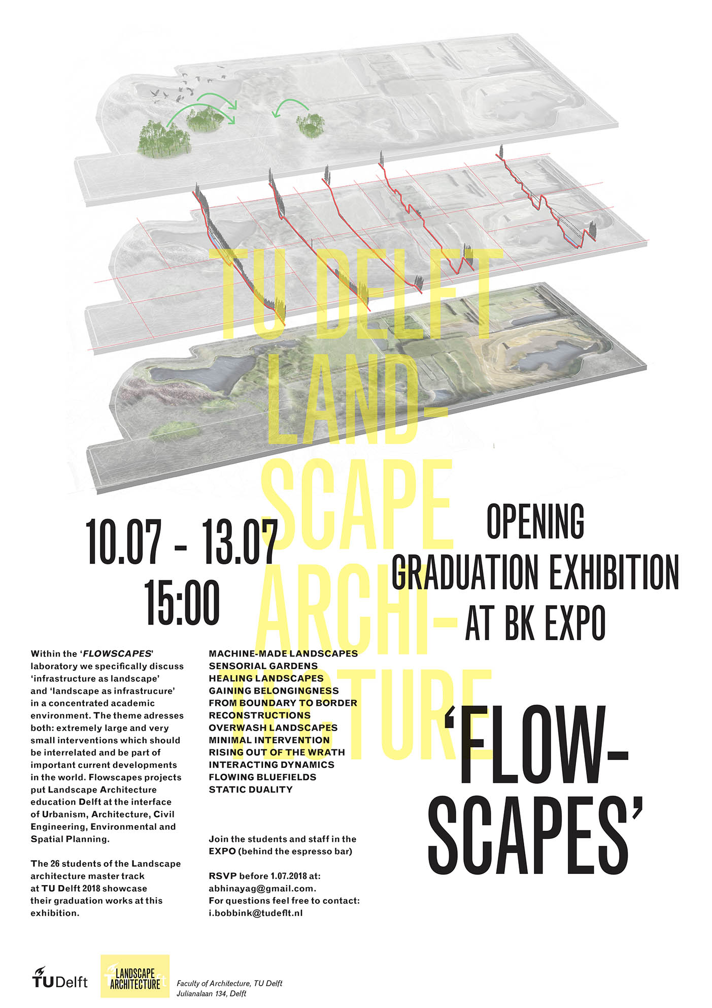
There is a third dimension that plays a crucial role in landscape architecture, one that is useful for modeling terrain, understanding and shaping water and soil dynamics, designing visual perspectives, as well as conceptually, materially, and emotionally drafting, (co)designing, and verifying a project with different stakeholders. This conference addresses sections and models as tools for exploration, analysis, synthesis, and design in the field of landscape architecture and planning from the micro-scale to the territorial one.
Speakers: Günter Vogt, Dreiseitl Herbert, Michel Desvigne
Organizer/moderator: Laura Cipriani, TU Delft
Discussants: Peter Koorstra, Eric Luiten, TU Delft
Or watch the lectures on YouTube here (site opens in a new tab)
The program can be found here (pdf opens in a new tab)


