During the first week of September, a 4-day summer school program was held as part of the Landscape Triennial 2017 program located in the monumental Kleine Vennep Barn, in the area of the future Park 21, the municipality of Haarlemmermeer. The summer school comprises an international group of landscape architecture students from TU Delft, HAS Hogeschool and Wageningen University.
The assignment asked to accommodate future needs of energy, food, climate change etc. in the Metropolitan area of Amsterdam (MRA). The next landscape, leaving the cities intact, focuses on the landscape that surrounds them. Questions like – How can the open landscape contribute in addressing contemporary and future urban requests of economic, environmental and cultural nature? In what way, can the landscape improve the quality of our everyday live? Could a sustainable plan for the periphery of Amsterdam contribute in establishing a better spatial relationship between the city and the open landscape in a more sustainable way? – needed to be answered by design experiments. In these experiments students tested the ‘loading’ capacity of the open landscape.
Working in the barn
The MRA area consists of 8 different regions: Waterland, IJ-meer, Flevopolder, Gooi, Vecht area, Haarlemmermeer, North Sea coastal zone, and the Oer-IJ. The summer school started with an excursion to the different areas in order to help us understand both, their distinctive spatial qualities as well as the relationships and transitions between them. Subsequently we were divided into ten groups. Eight teams worked on the different regions, while two groups worked on a bigger scale, addressing the whole Metropolitan area of Amsterdam.
The design task (for each individual region) included energy installations that would produce the incredible amount of 101, 7 PJ, combined with 62.000 new houses. Furthermore, we needed to incorporate programs such as recreation, health and alternative forms of tourism. We were invited to test new and creative ways to balance these enormous energy and housing demands with maintaining and protecting the identity of the Dutch cultural landscape. Can the landscape facilitate these number, or is its capacity exhausted, radically altering its character and disturbing its ecological values?
In the first two days, we analysed the characteristic and potential of the area, explored the possibilities for the concept by incorporating the new programs while imagining the space for the future landscape. Lectures in the evening on energy, productive landscapes and the future landscape planning for the Netherlands helped us to gain a better understanding of the area. Beside the lectures, the discussion with the teachers (Rob van Leeuwen, Kevin Raaphorst, Leo Pols, Joeri de Bekker, Ad Kolen, Frits van Loon, Saskia de Wit and Inge Bobbink) and progress-pitches of all groups help us to enrich our own design. Moreover, the visiting critics (Arjan Klok, Sven Stremke, Joop Slangen, Helga van der Haagen, Kevin Raaphorst) on the third day, gave us a new boost and constructive feedbacks to finalize the projects. Some of the inputs were related to the reasoning of the concepts, the design should not only deal with problem solving but should explore comprehensive spatial visions. Next to that they advised us to be more critical about the assignment and come-up with a statement.
Visions on the Metropolitan area of Amsterdam
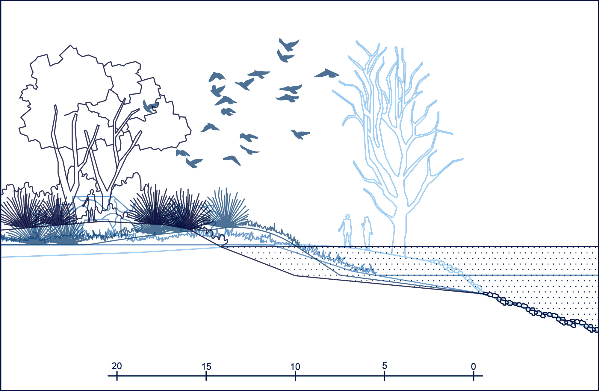
At the end of the summer school, 10 groups represented their design results. For the area of Waterland (image 4), integrative housing blocks including a circular water system and solar energy were combined with new forms of productive agriculture and an integrated recreational program. In the IJ-meer area (image 5) a radical re-positioning of the land took place, by letting the water inland and adding islands providing a sustainable living environment. In the Flevopolder (image 6), the productive energy landscape is seen as a connector between the urban fabric and its surrounding landscape and can become destinations for tourism. In the Gooi (image 7), small scale housing units combined with circular energy, urban farming and high productivity were tested. The team of the Vecht-area (image 8) focused on making space for the water while emphasizing the historical value of the New Dutch Waterline. In the Haarlemmermeer (image 9), ridges were introduced into the landscape as a new topography that would work as a sound barrier and at the same time create a distinctive and attractive spatial quality. In the North Sea coastal area (image 10), a wind park on the sea and a self-sustainable harbour was created, which would also incorporate recreational uses. Finally, in the Oer-IJ (image 11), the dike functioned as a device to connect two open water areas, one focused on productive agriculture and the other on energy.


For the two groups who worked in the scale of Metropolitan Region of Amsterdam, two different scenarios to develop the future plan were addressed. In the Low Scenario, there is no significant change in the population and economic growth in the area. As a result, to reorganize the sustainable energy source, to create an integrated infrastructure line, and to redesign a liveable space for the resident in the polder landscape of the region were proposed in the future plan. In the High Scenario, the population and economy grow rapidly. To respond this situation, the area between Amsterdam and Almere were proposed as the New Metropole. The other strategies in this future plan were to establish green corridor and energy production in various landscapes in the area of MRA.


Written by: Ayu Prestasia and Inge Bobbink


